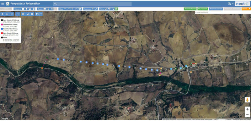
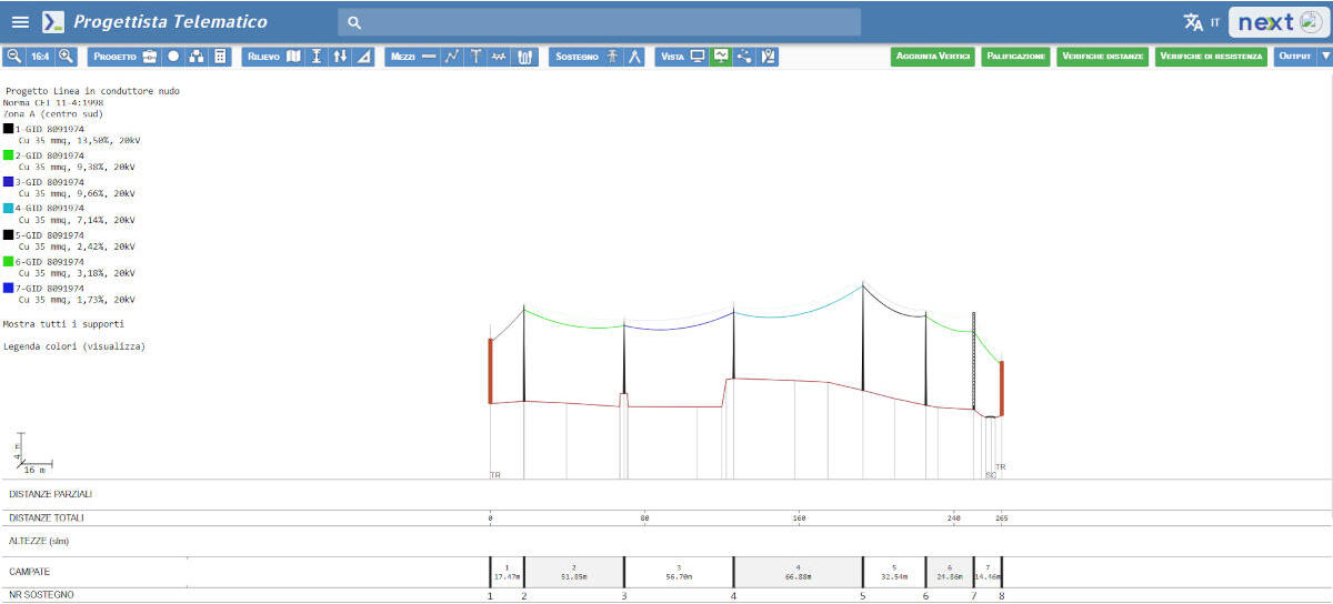
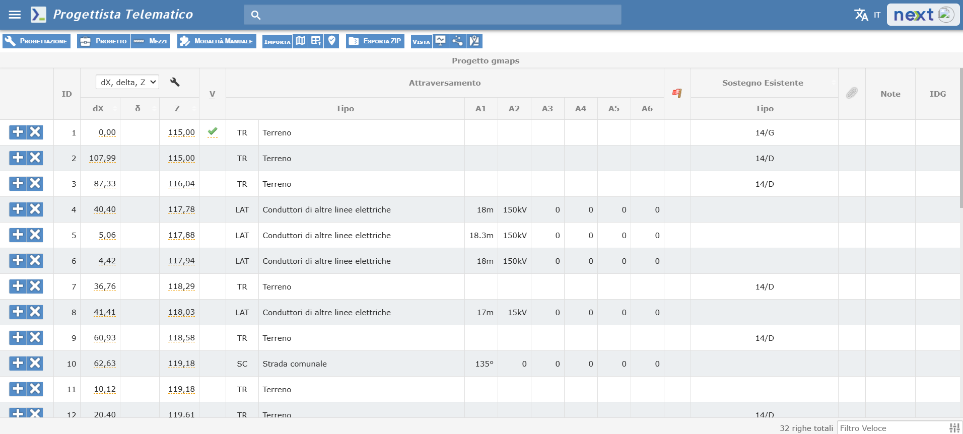
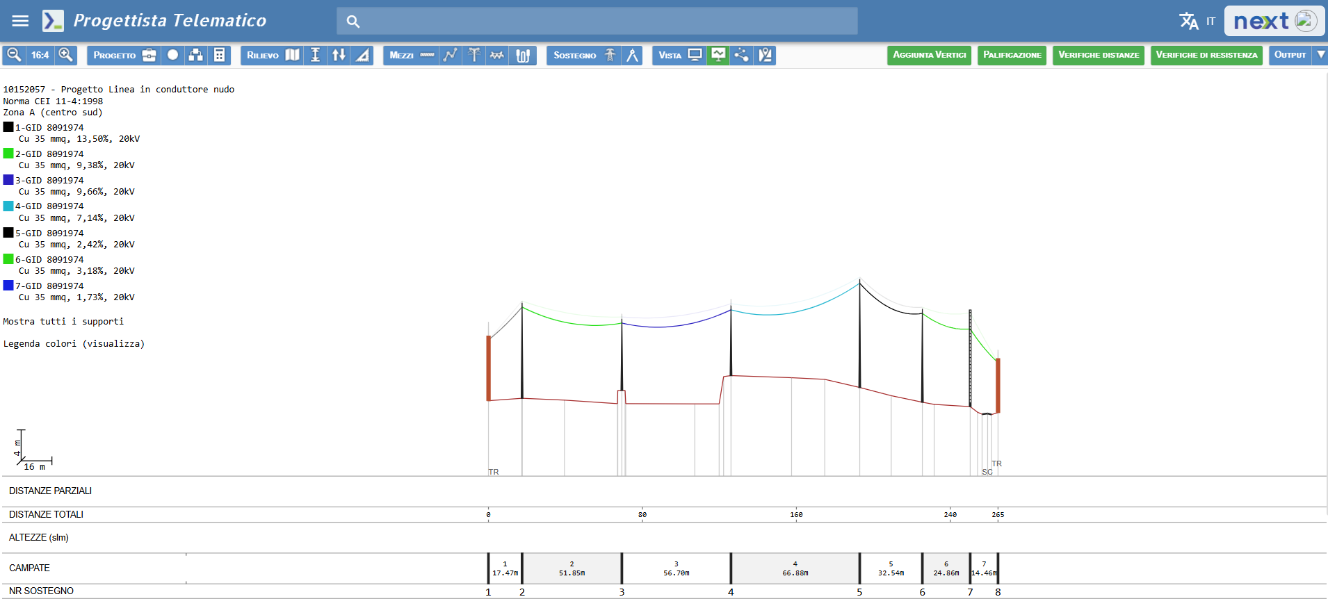
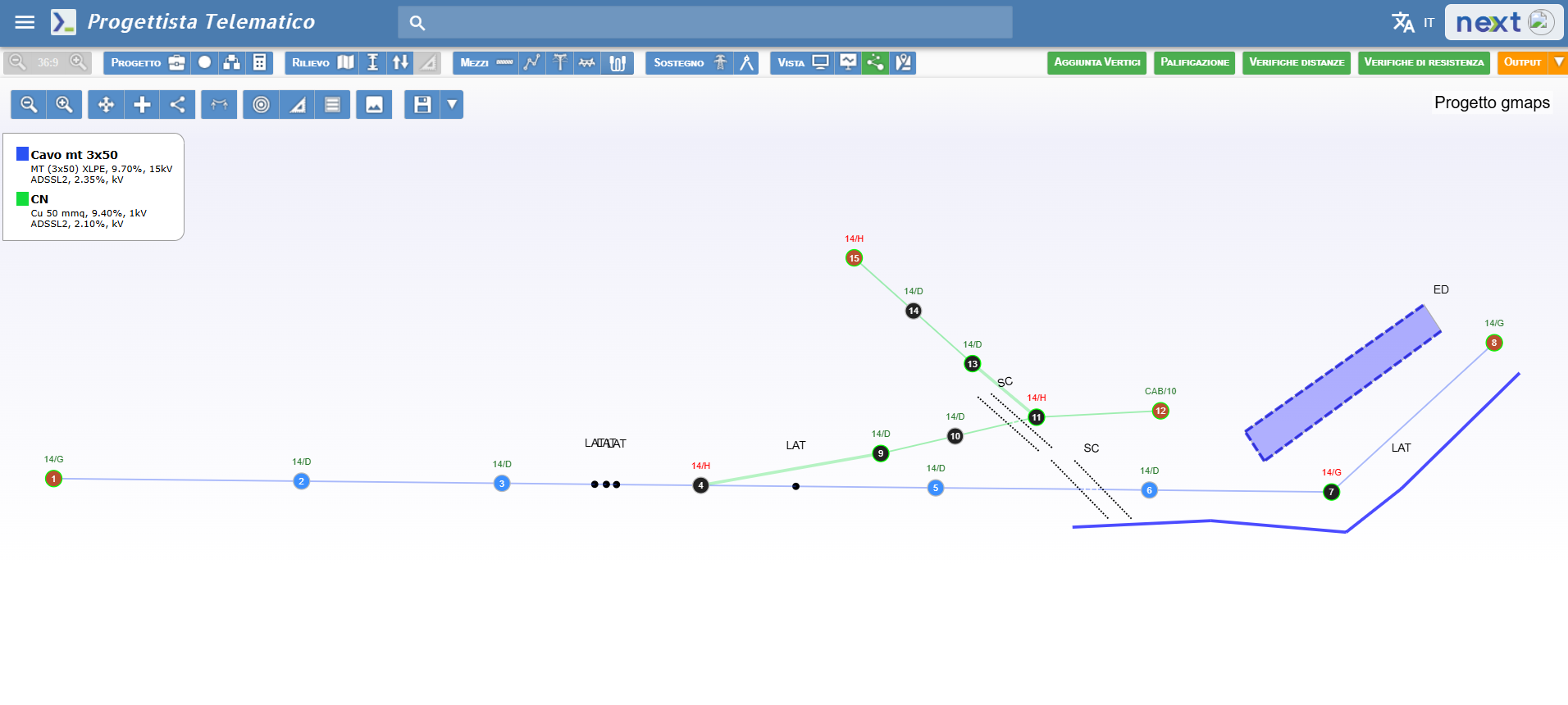
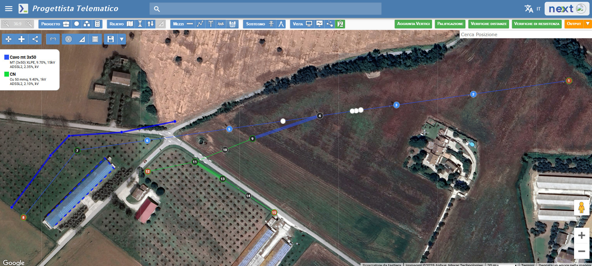
Proled – Progettista Telematico, è un software per la progettazione di linee elettriche a media e bassa tensione, in base alle normative previste dal Paese specifico in cui vengono applicate.
La soluzione è stata realizzata in stretta collaborazione con E-Distribuzione.
Attualmente Proled può essere considerato lo standard italiano per la progettazione di linee elettriche aeree, ma resta una soluzione in continua evoluzione ed espansione, per restare al passo con l’evoluzione tecnologica.
Cosa fa Proled
Proled è un software completo: si occupa dell’intero flusso progettuale, dall’importazione dei punti battuti, agli output comprendente la documentazione necessaria per l’implementazione della linea.
Cosa è Proled
ProLED è un’applicazione web-based, quindi nessuna installazione è necessaria né alcun salvataggio durante la progettazione.
In caso di multi-licenza, Proled diventa la soluzione ideale per condividere i progetti con altri colleghi e poter lavorare a più mani ad un progetto o a progetti differenti.
Infine, non importa se si progettano linee elettriche costantemente o in maniera saltuaria: esiste una proposta di noleggio per ogni esigenza.
